Fort St. Angelo Travel Map
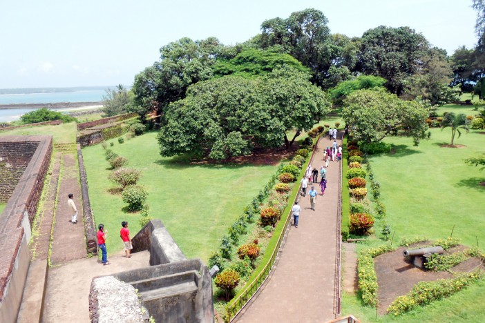
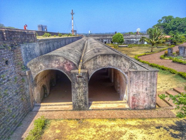
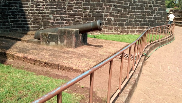
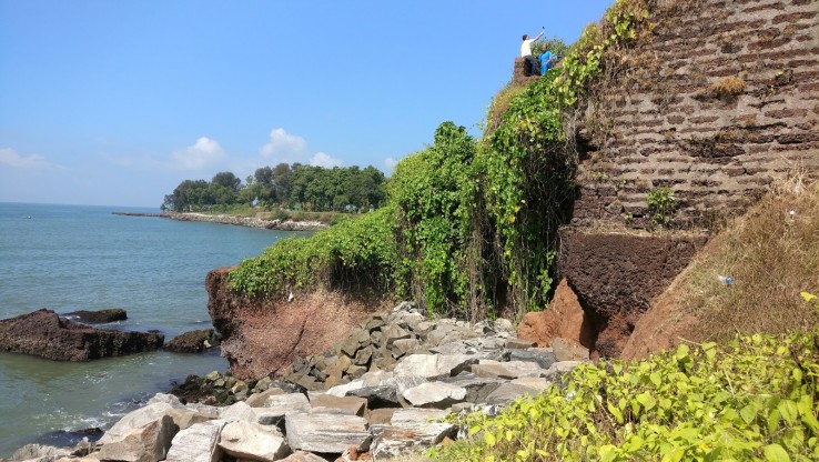
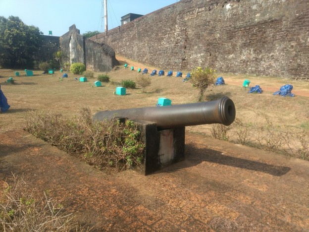
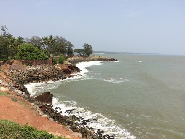
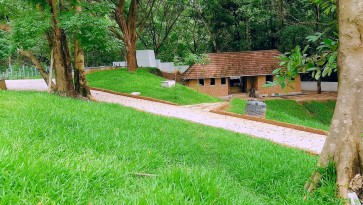
Under the British rule, this fort was renovated and later used as the British station in Malabar. This fort houses various cells, each one of which has a single hole that was used for giving food to the prisoners. A grave stone that belongs to the family of a Dutch commander can be seen within the fort. This fort also has a stable and a chapel. This historical site is presently managed by the Archaeological Survey of India. Fort St. Angelo is believed to be constructed in 1505 by Dom Francisco De Almeida, the first Portuguese Viceroy. This fort is situated in the western region of Kannur town. It is popularly known as the Kannur Fort and Kannur Kotta. This triangular shaped fort lies in the Cantonment region facing the Arabian Sea. According to history, this fort was captured by Dutch rulers in 1663. Later in 1772, Ali Raja of Kannur bought this fort from the Dutch. Various attractions of this fort like the Zeelandia, Frieslandia and Hollandia were built by the Dutch rulers.
Other Places To Visit In Kannur
Near Cannannore Cantonment, Burnacherry, Kannur, Kerala 670017, India
Opening Day
Monday: 8:00 AM – 6:00 PM
Tuesday: 8:00 AM – 6:00 PM
Wednesday: 8:00 AM – 6:00 PM
Thursday: 8:00 AM – 6:00 PM
Friday: 8:00 AM – 6:00 PM
Saturday: 8:00 AM – 6:00 PM
Sunday: 8:00 AM – 6:00 PM
